Cosmic Photo Challenge: As the Sun Goes Down

Cosmic Photo Challenge: As the Sun Goes Down

In a flat country like the Upper Rhine Valley water towers were needed to supply water to the houses of a town or a village. Nowadays, many of these towers have been converted to offices or to living quarters. Either way, one needs windows. And … Continue reading Water Tower Windows


The Upper Rhine Valley is up to 35 km wide, from East to West. The river Rhine used to meander leisurely in this plain from Basel in the South to above Mainz in the North. In the early part of the 19th century Johann Tulla started with straightening the Rhine making it possible for larger ships to transport goods up and down the river. The cut off “arms” became recreational areas, some for boating and swimming etc., some have become preserved areas for fauna and flora.
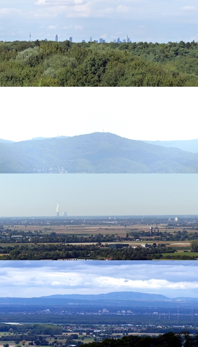
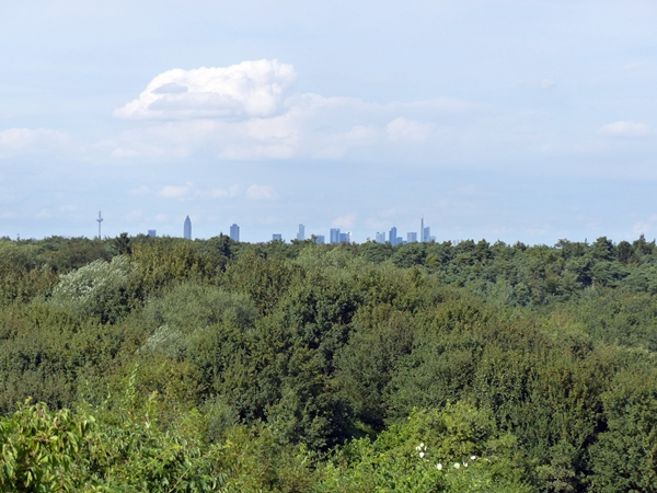
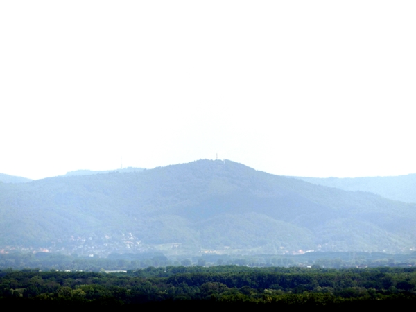
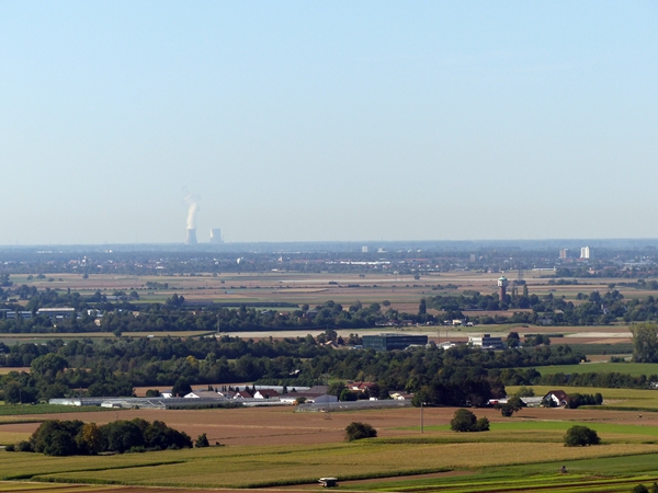
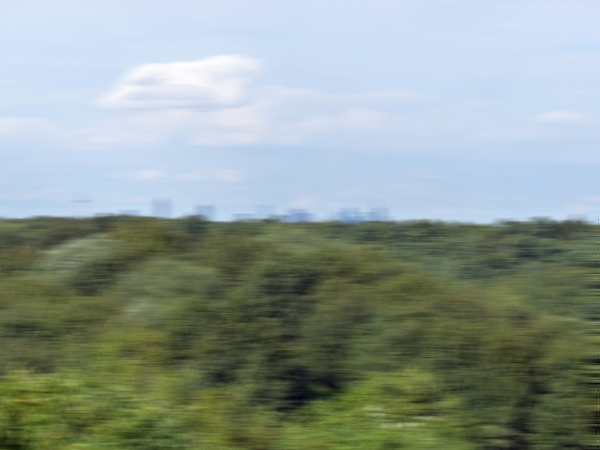
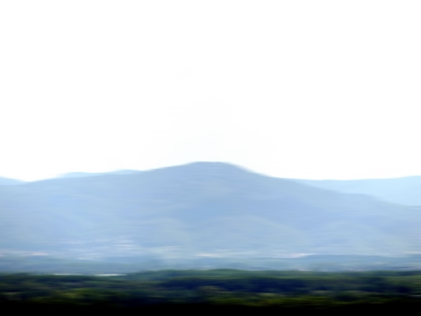
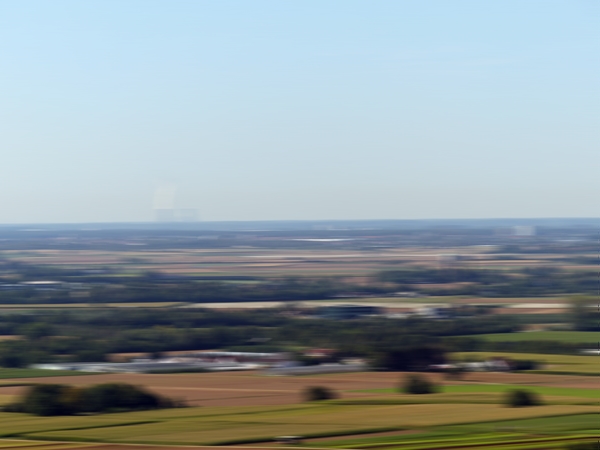
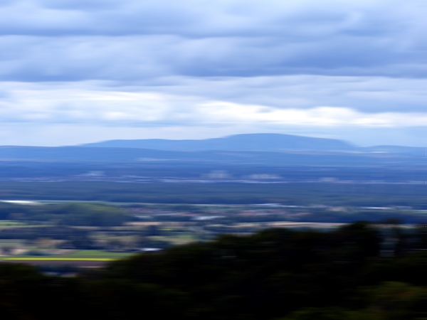
To the North is Frankfurt, to the East is the Odenwald, to the South is more of the Upper Rhine Valley towards Karlsruhe, and to the West is the Palatinate Forest.
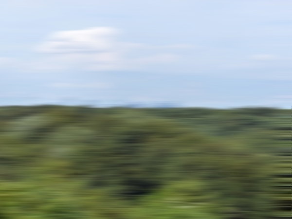
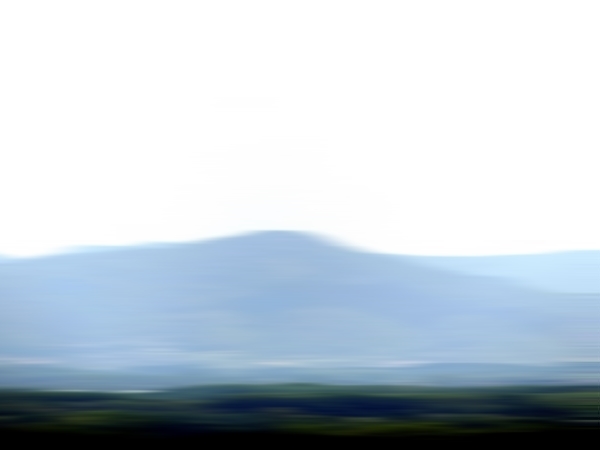
Just stand in the middle and turn:
No go faster:
And even faster:
Dizzy yet?

The Cosmic Photo Challenge: North, South, East, West
.
.

It used to be that there were trees in the distance.
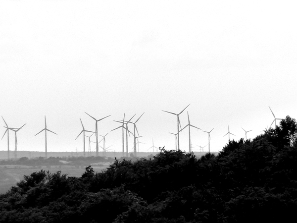
Today it warrants a second look – trees or wind turbines?

Looking across the Upper Rhine Valley towards the Palatinate.
Cee’s Black & White Challenge: In the distance
.

x
x
In February this year we had some strange weather in the Upper Rhine Valley. Strong winds blew sands from the Sahara, from as far away Morocco, Algeria, Mauretania and Mali all the way to Switzerland, France and the south of Germany. It happens every few years.

As interesting as the effect was, I prefer not to breathe in my sand.
How about drinking it?

A few days ago somebody posted a photo of sand in a bottle and I commented on it and now I cant find anymore. Anyway – this is the bottle that I have, a lot less artistic. I filled this bottle myself 50 years ago with sands from Le sentier des ocres de Roussilon in the Luberon. It’s an old ocher pigment quarry in the South of France which was then open to anybody and one could just collect sand. Nowadays, there are fixed walkways and taking sands is strictly forbidden (and quite rightly so).

The small river running through our town and rushing and sometimes trundling towards the big river Rhine is split through canalisation into Old Weschnitz and New Weschnitz and various trenches dug for irrigation of the very fertile soil in the Upper Rhine Valley. Close to the town of Lorsch an island has been formed, called Weschnitz Insel which is kept as a nature reserve.

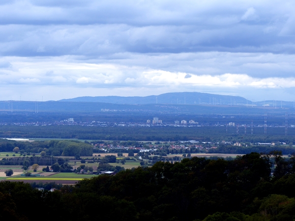
One both sides of the valley are the hills of the Odenwald in the east, the Pfälzer Wald in the west, creating horizontal borders.

Horizontal lines created by the greener gras where water veins are.
A Photo a Week: Horizontal Lines
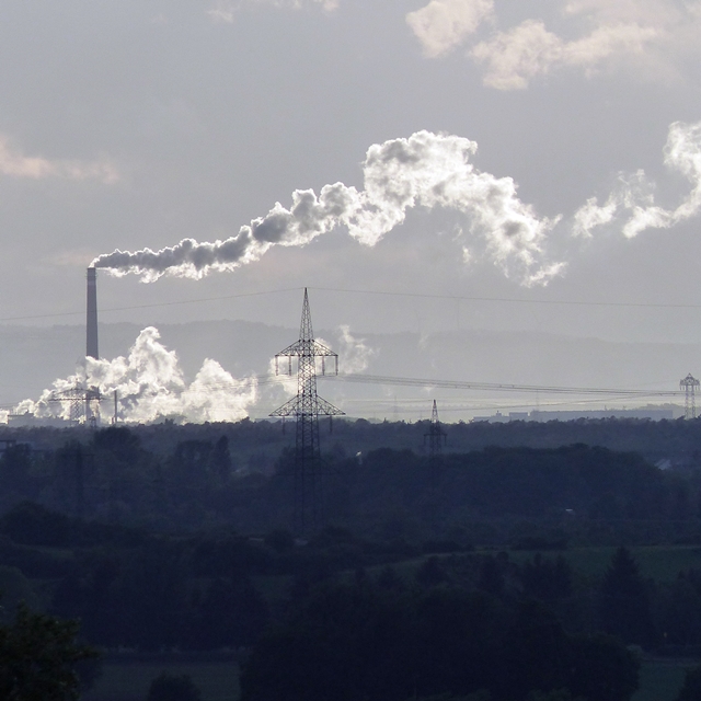
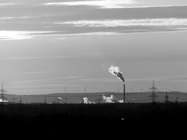
Looking through photos for Debbie’s Travel with Intent quotations challenge I cam across this view across the Rhine valley, from our side of the Odenwald all the way to the hills of the Pfälzerwald. In between are is Mannheim and Ludwigshafen and several medium-sized towns and quite a few villages with more than half a million people, agriculture and industries (in fact, the chimney belongs to the world largest chemical producer, BASF, with over 100,000 employees working on that site).
Square 08 for the KindaSquare Challenge in October.

“Tomorrow morning before we depart, I intend to land and see what can be found in the neighbourhood.”
Christopher Columbus
Linked to Travel with Intent where more photos inspired by the Christopher Columbus quote can be found.
A couple of days ago, I went for a walk late in the day. I took my camera but more out of habit and the photos I took were mere snaps.
I passed this lamp and just when I took a rather fuzzy picture of it, it was switched on.


Linked to A Photo a Week: Dusk.